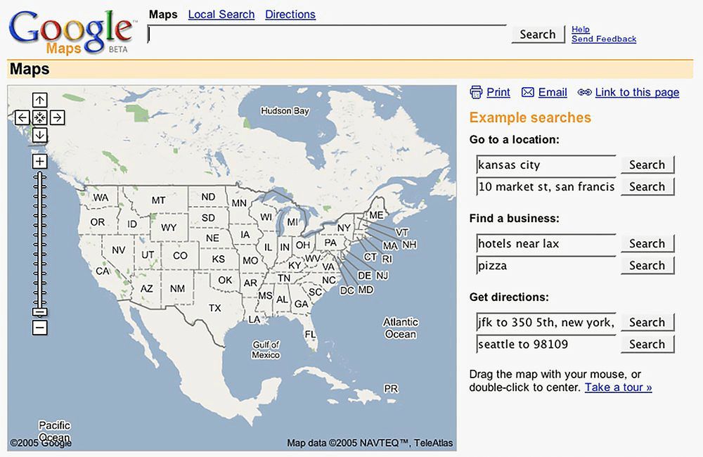
Google Maps website in 2005
Google Maps
2005 February 8th
Google Maps for desktop was designed to provide a simplified solution to “get from point A to point B.” Clicking and dragging a map or following step-by-step navigation directions allowed users to explore locations near and far. Months after its launch, Google shared Google Maps API so that maps could be embedded on websites. In December 2005, Portland, Oregon became the first city to use Google Transit Trip Planner, incorporating public transit options and schedules in Google Maps. By the end of 2007, Google Maps incorporated real-time traffic news, interactive panoramas via Street View, and mobile device compatibility.
